Planning a road trip in Michigan? This route is about the most scenic trails, hikes, and must-see stops in Northern Michigan.
If Michigan is on top of your bucket list, I assume you traveled extensively enough to see the beauty in the most underrated spots in the world. Michigan is one of those places. Expect short rides surrounded by beautiful scenery and surprises that you won’t find in most guide books. I traveled from Marquette to Traverse City on a road trip looking for escapes like these.
The result was more than just a road trip. It was a self-discovery on why Michigan should be on top of my bucket list after traveling to more than 150 countries. . Driving distances are manageable, trail density is high, and the scenery changes every few hours. You’re never hiking the same kind of terrain twice. I need to confess. This was one of the most rewarding driving routes in the United States and in this article I will tell you why.
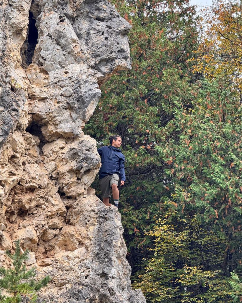
Marquette & Surroundings
Driving distance to next stop: ~45 miles / 1–1.25 hours
Ideal stay: 2-3 nights (1 full day)
I would recommend starting in Marquette because it lets you ease into the wilderness of Northern Michigan easily.
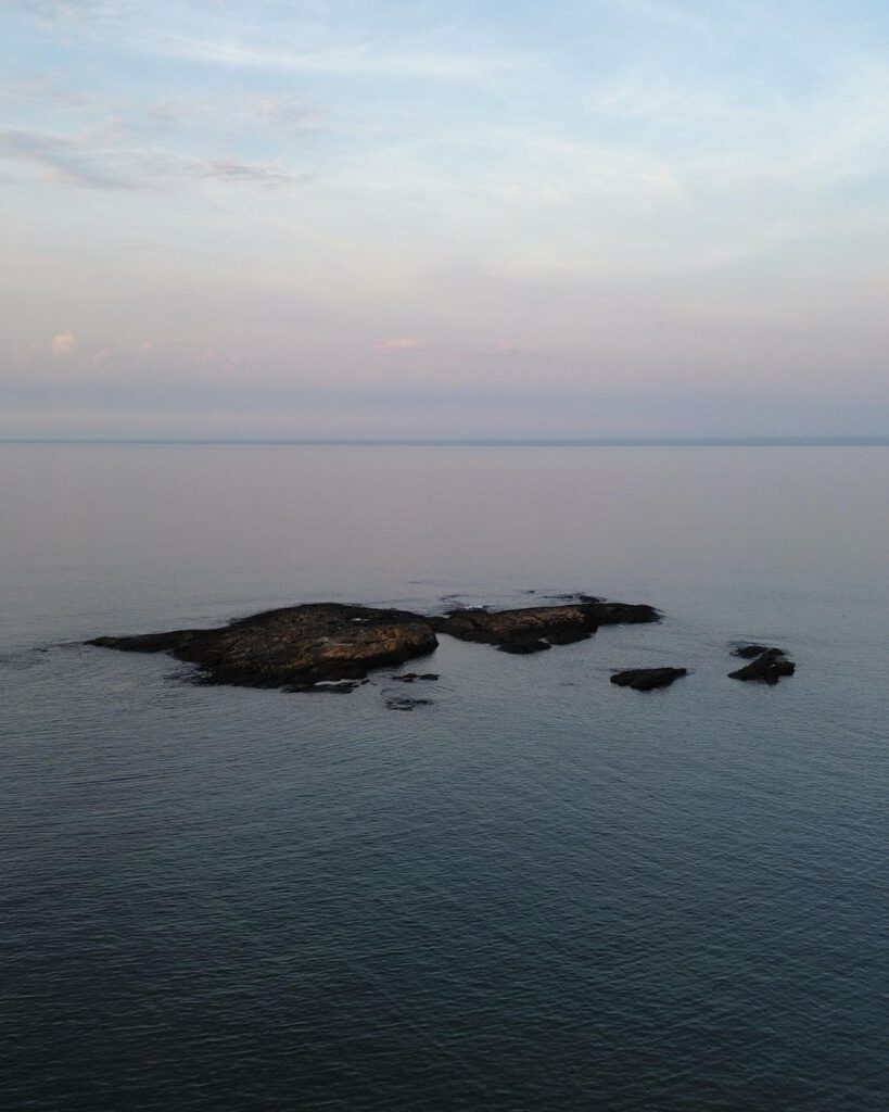
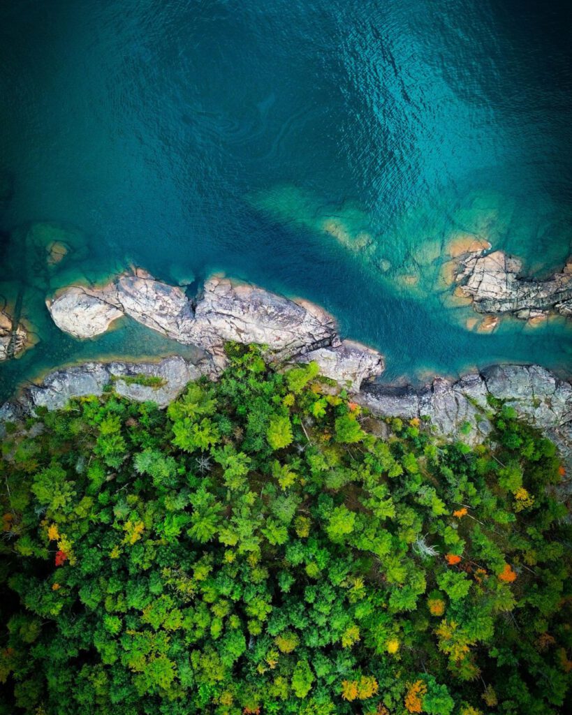
Within minutes of arriving, you’re already standing on the edge of Lake Superior and straight from the hotel room you can watch waves crash against black volcanic rock.
What makes Marquette special for the start of a nature road trip is the variety of landscapes packed into such a compact area. One moment you’re walking flat shoreline trails with the lake stretching endlessly beside you, and the next you’re climbing through forest toward a lookout that feels far more remote than it actually is.
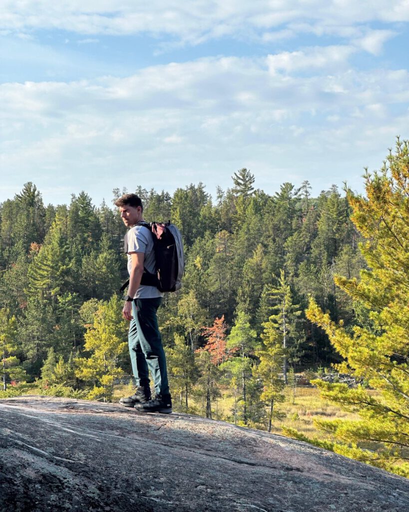
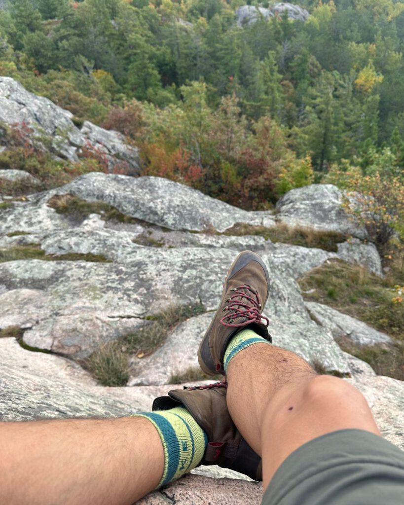
Sugarloaf Mountain was my introduction to the scale of the region. The hike is short but steep, and the reward comes quickly. Lake Superior spreads out below and you feel as if you were hiking for days in the wilderness.
For your time in Marquette, you can also prepare for the trip. Marquette is the last place on this route where you’ll find everything you need close together: supermarkets and large gas stations. This makes it an ideal place to slow down, adjust to the pace, and prepare for the more remote stretches ahead.
What to expect:
Hiking here feels wild but accessible. Trails are well maintained, but the landscape still feels raw. Lake Superior dominates everything. Weather changes fast, winds are stronger, and temperatures are cooler than farther south.
Key hiking options:
- Sugarloaf Mountain: A short but steep climb with panoramic views over Lake Superior and dense forest. Ideal if you want a big payoff without a long hike.
- Presque Isle Park Trails: Easy coastal hiking over volcanic rock with constant lake views.
- Noquemanon Trails (South Trails): If you want longer forest hikes, this route offers easier terrain and quieter paths.
Alternatives:
If weather is poor, coastal trails still work well. If it’s clear and calm, prioritize elevation hikes early in the day before winds pick up.
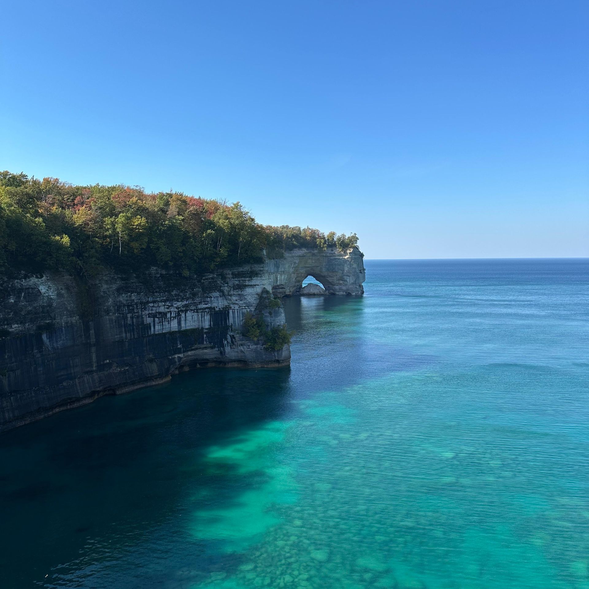
Pictured Rocks National Lakeshore
Driving distance from Marquette: ~45 miles / 1–1.25 hours
Driving distance to next stop: ~75 miles / 1.5–2 hours
Ideal stay: 1 full day trip at Pictured Rocks National Lakeshore and stay overnight at the nearby hotels.
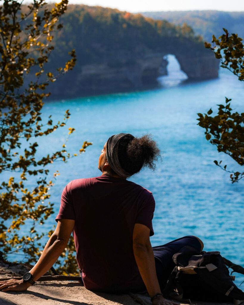
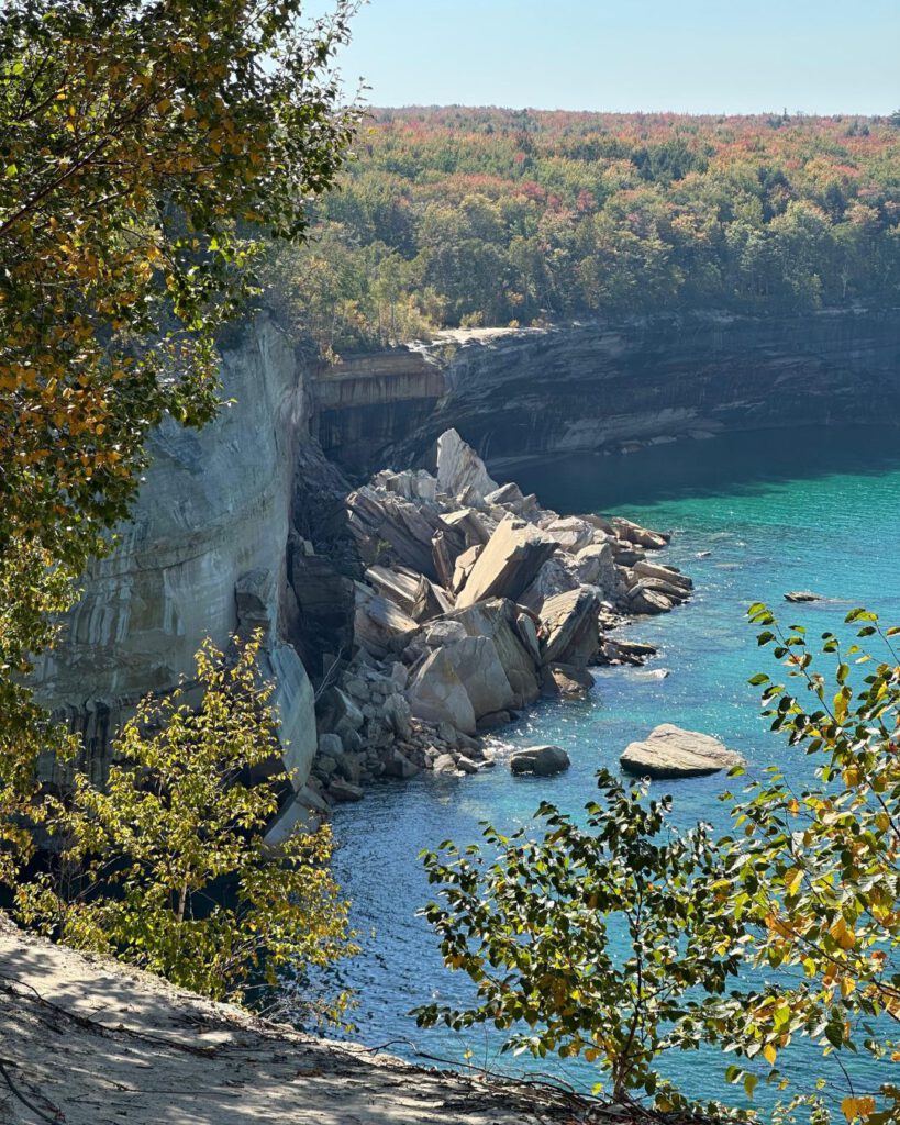
Pictured Rocks is where this road trip truly announces itself. The drive from Marquette already hints at what’s coming. Expect to see long forest corridors, fewer cars, and Lake Superior appearing unexpectedly through gaps in the trees. When I first stepped onto the trails here, the contrast immediately stood out. Towering sandstone cliffs rise above the lake, while quiet forest paths pull you inland. This was for sure the most impressive view of the whole trip and in my opinion, the best spot to stop in Northern Michigan.
What I loved most about hiking Pictured Rocks was exploring through different environments in such a short distance. Trails like the Chapel Loop combine cliff-top viewpoints, waterfalls hidden in shaded ravines, and long stretches of forest walking that feel meditative rather than dramatic.
What to expect:
This is where Northern Michigan feels truly dramatic. Trails alternate between wooded paths, cliff-edge overlooks, waterfalls, and quiet beaches. Autumn hiking here is calmer, cooler, and far less crowded.

Key hiking options:
- Chapel Loop: The most complete hike in the park, combining forest, cliffs, waterfalls, and beach walking.
- Miners Castle Area: Short hikes with big views if you want flexibility or limited time.
- Mosquito Falls to Chapel Beach: Ideal if you want moving water and varied terrain without committing to a full loop.
Alternatives:
If conditions are windy or overcast, cliff-top hikes become even more atmospheric. On sunny days, combine forest hiking with beach sections. We did try the beach, but the water was way too cold for me to go and swim.
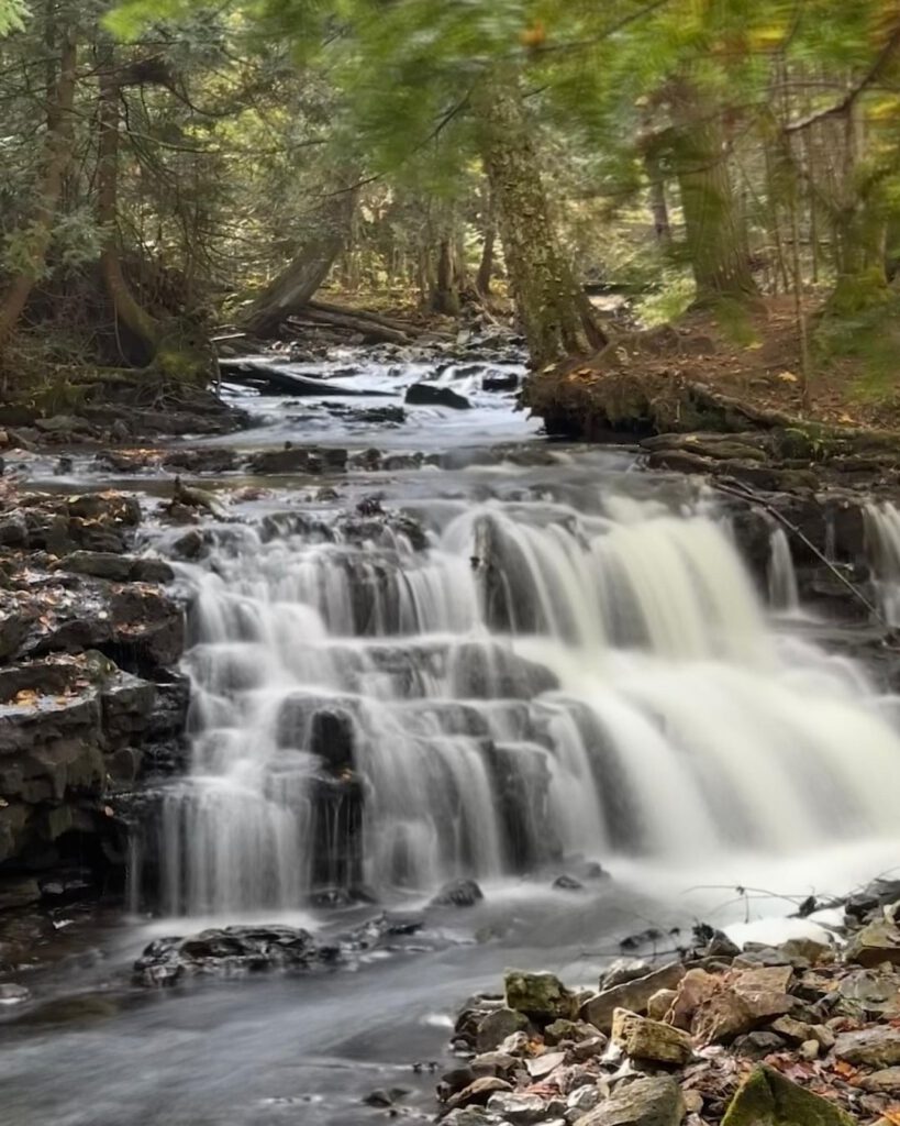
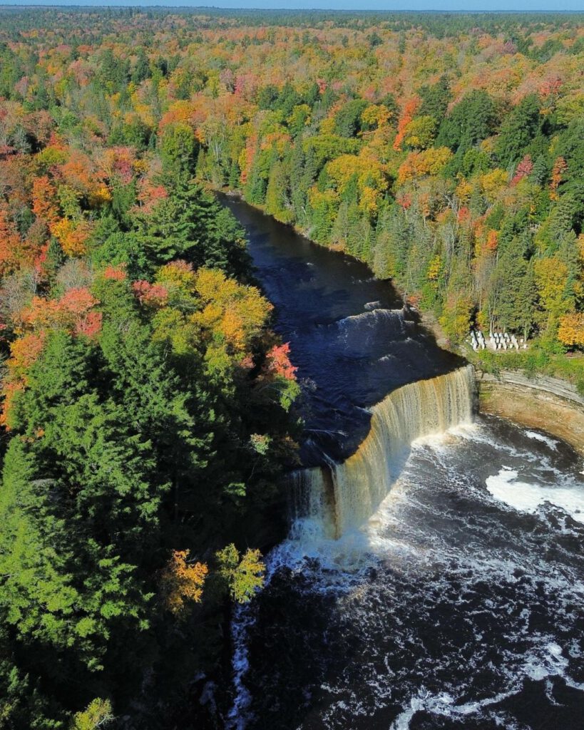
Tahquamenon Falls State Park
Driving distance from Pictured Rocks: ~75 miles / 1.5–2 hours
Driving distance to next stop: ~90 miles / 1.75–2.25 hours
Ideal stay: Half day trip
After the openness of Pictured Rocks, Tahquamenon Falls feels like stepping inward. The cliffs disappear, and the forest takes over. Hiking here is less about dramatic overlooks and more about immersion. For travelers used to hiking in Germany, Poland or Czechia, Tahquamenon Falls might not feel so special. But remember, this trail is not about what you see, but what it makes you feel.
The easy River Trail, which connects the Upper and Lower Falls, became one of my favorite stretches of the entire trip. It was not because of a single viewpoint I encountered, but because of how consistently calming it felt.
What to expect:
This is forest hiking at its best. Trails follow the river through dense woods, with waterfalls as punctuation points rather than the main event. In autumn, the color saturation is intense.
Key hiking options:
- River Trail (Upper to Lower Falls): The classic route, offering a mix of viewpoints and quiet stretches.
- Short Loop Variations: Ideal if you want a half-day hike rather than a full trail commitment.
- Backcountry Sections: For those wanting fewer people and longer walks.
Alternatives:
Tahquamenon Falls is the only route that lets you select between a short walk, a short trail or longer forest trails. If you feel like exploring spontaneously, you can do shorter trails and move to longer ones if you feel that you need more of it.

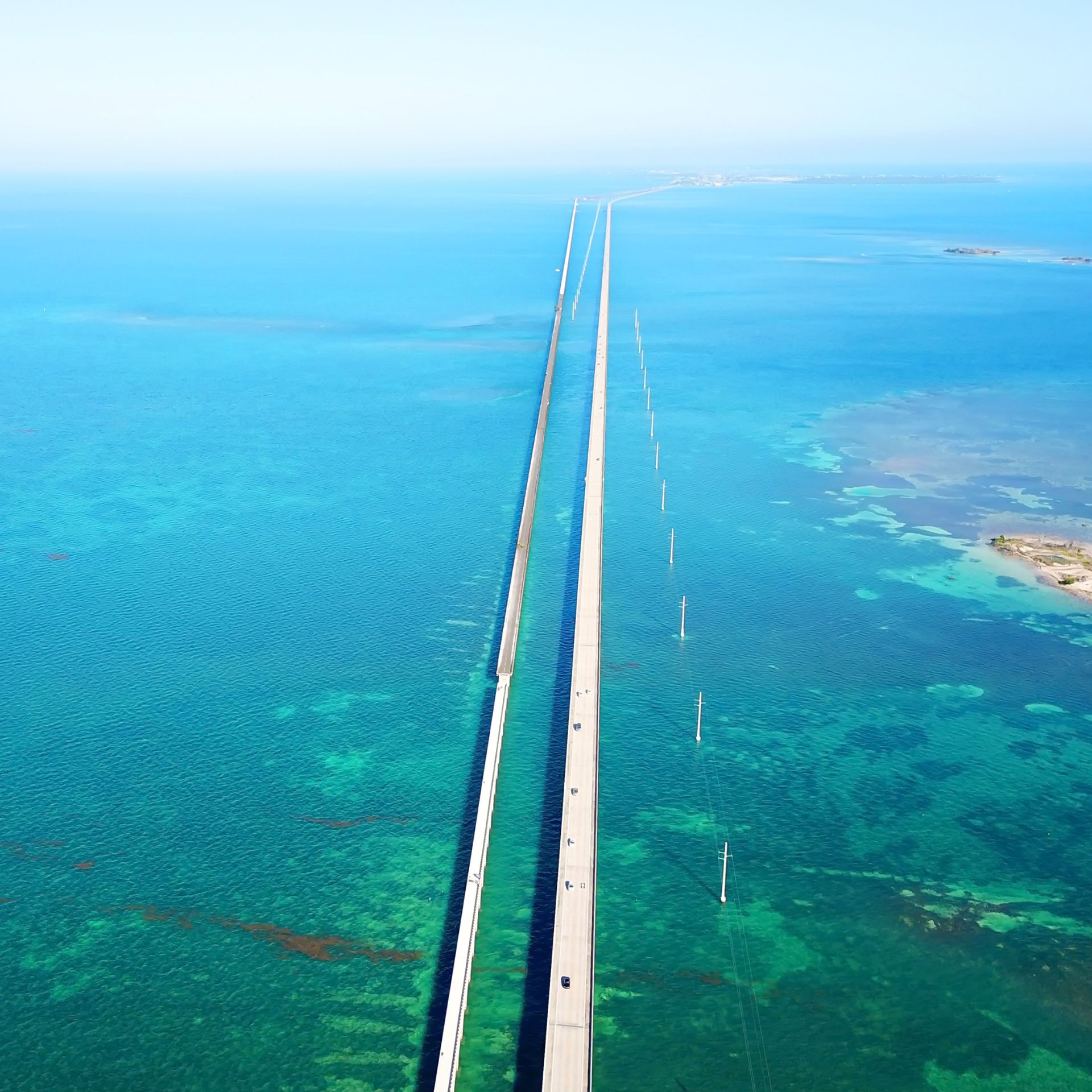
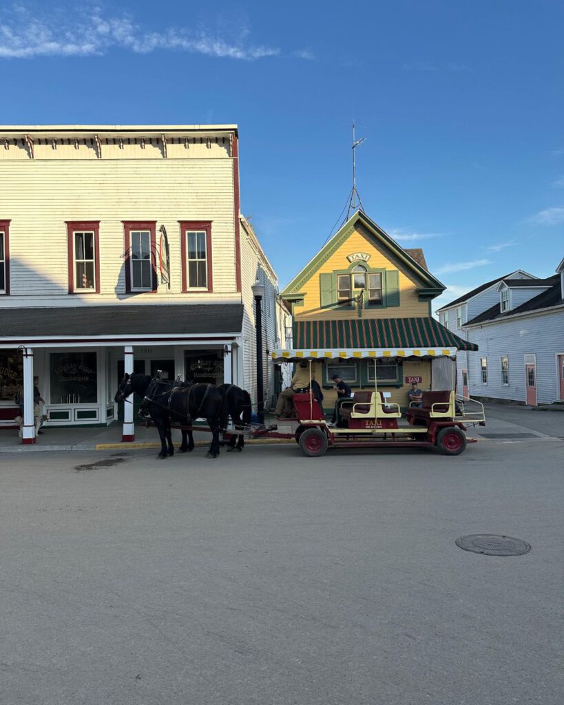
Mackinac Island
Driving distance from Tahquamenon Falls: ~90 miles / 1.75–2.25 hours
Driving distance to next stop: ~200 miles / 4–4.5 hours (including ferry time)
Ideal stay: 3 nights (2 full days at least at Mackinac Island to fully inmerse in this little piece of land)
This stop isn’t about pushing distance. It’s about changing rhythm. Mackinaw City is not an obligatory stop. This city serves itself mostly as a gateway, but crossing to Mackinac Island feels like stepping out of modern travel altogether.
Once you leave the car behind, everything slows down. The absence of engines changes how you experience distance, and suddenly walking everywhere feels natural again. With my friends, we chose to cycle around the island, following the shoreline as Lake Huron sparkled on one side and forest rose on the other. The loop is flat, scenic, and flexible (you can stop whenever something catches your attention).
Walking tours through the interior trails offer a different experience. Here you can expect walks through woods and landmarks like Arch Rock, where the natural limestone arch frames the lake far below. In autumn, the island feels calmer and more intimate. Trees begin to turn, ferry traffic slows, and the entire place feels like it’s exhaling after summer. It’s not the most demanding stop of the trip, but it’s one of the most refreshing.
What to expect:
Mackinac Island offers light hiking and long walks rather than elevation or distance. The absence of vehicles changes your pace entirely.
Key hiking and walking options:
- Island Perimeter Road (by bike or foot): Flat but scenic, hugging the shoreline.
- Interior Trails: Short forest hikes leading to Arch Rock and bluff overlooks.
- Quiet Back Paths: Often missed by visitors rushing between landmarks.

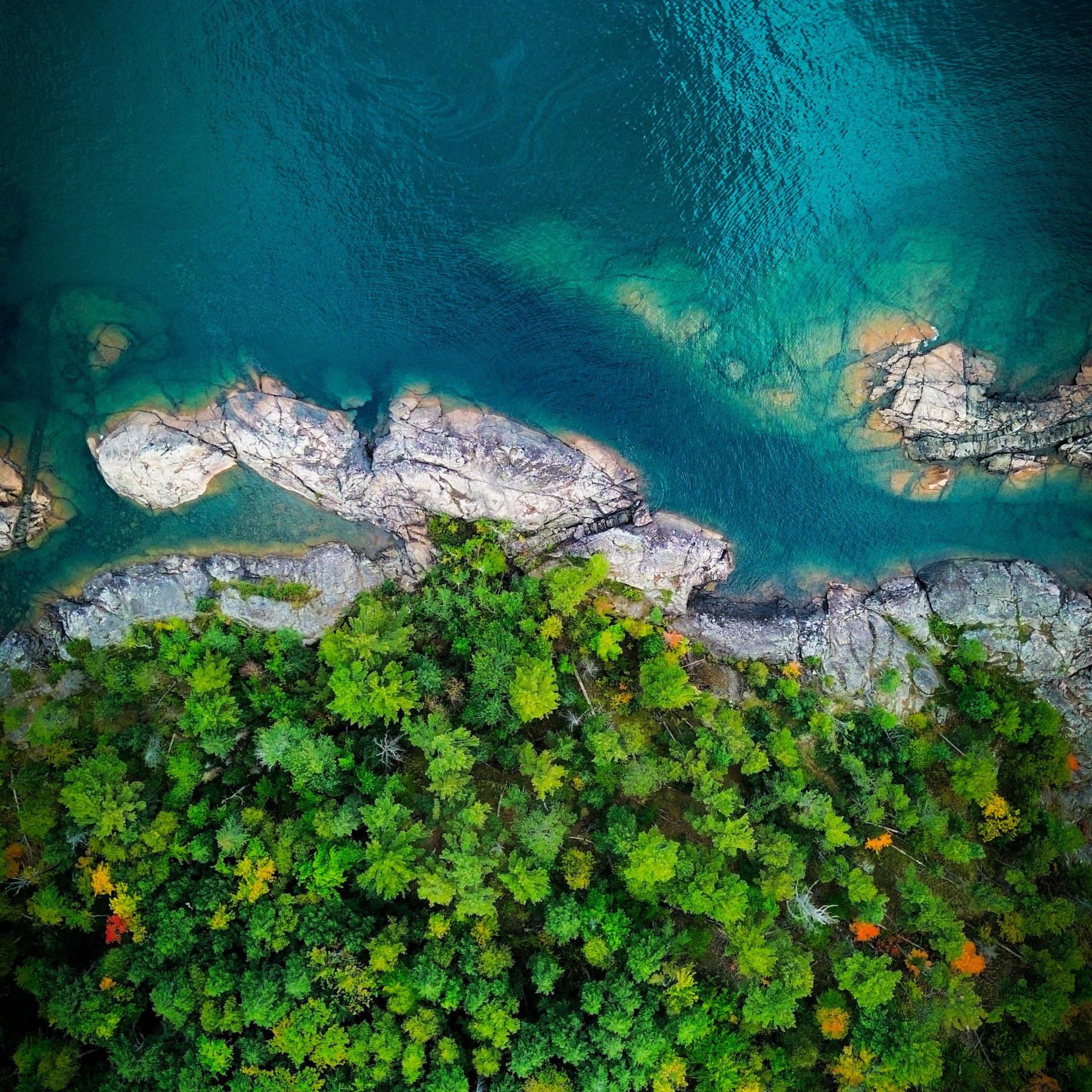
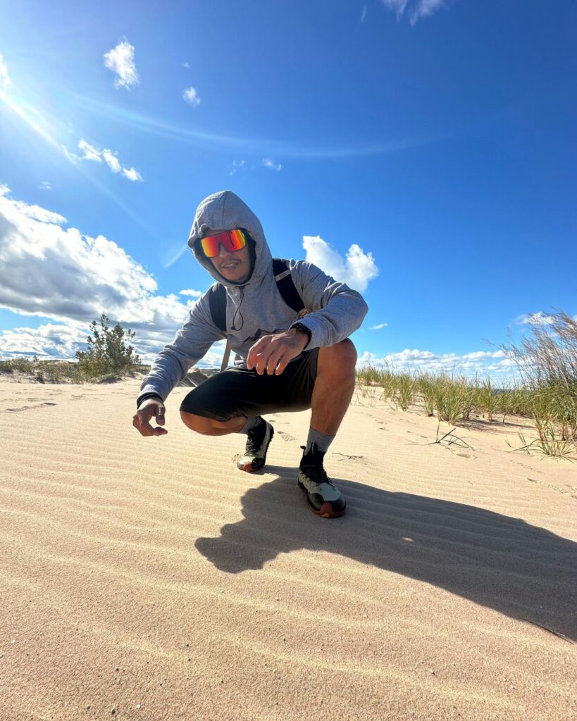
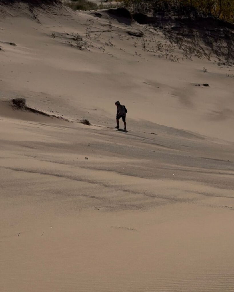
Sleeping Bear Dunes National Lakeshore
Driving distance from Mackinaw City: ~200 miles / 4–4.5 hours
Driving distance to next stop: ~30 miles / 45 minutes
Ideal stay: 2 nights (1 full day at Sleeping Bear Dunes National Lakeshore and get lost in its trails)
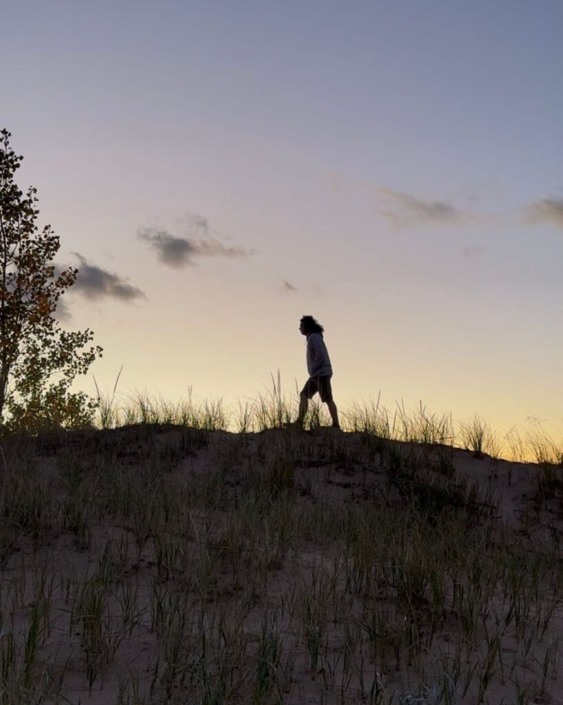
By the time I reached Sleeping Bear Dunes, I could feel the trip shifting again. Sleeping Bear Dunes National Lakeshore doesn’t look like anything else in Michigan. Its a combination of a desertic landscape, coastal vibes and forest. It was a positive surprise that I didn’t expect at all.
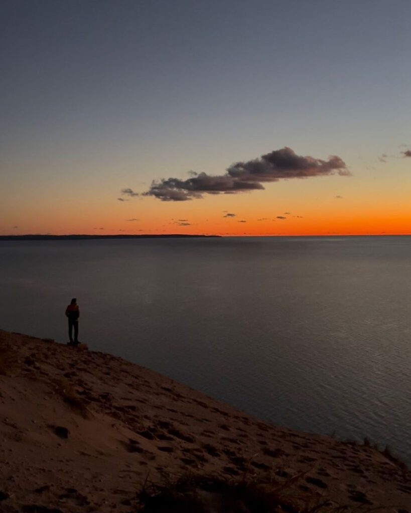
I heard that the dunes are very popular during Summer, but in my opinion, Autumn is when Sleeping Bear Dunes truly shines. The sand cools, the forests glow, and trails like Empire Bluff deliver incredible views without long or exhausting climbs.
I found myself lingering longer at overlooks here than anywhere else on the trip. Sunset feels unhurried. Light fades slowly, shadows stretch across the dunes, and the lake turns a deeper shade of blue.
What to expect:
Hiking here blends forest, dunes, and water. Trails are generally shorter but visually rewarding. Autumn hiking is ideal—cool sand, vibrant forests, and quieter overlooks.
Key hiking options:
- Empire Bluff Trail: Short, high-reward hike with sweeping Lake Michigan views.
- Dune Forest Trails: Less exposed, great for midday hikes.
- Bluff-to-Beach Routes: Combine elevation with shoreline walking.
Alternatives:
On windy days, stay in forested trails. On calm days, prioritize exposed dune viewpoints.
Traverse City & Surroundings
Driving distance from Sleeping Bear Dunes: ~30 miles / 45 minutes
Ideal stay: 1 – 2 nights (half day is enough to see the city)
Traverse City is the soft landing I didn’t realize I needed until I arrived. After days of forests, cliffs, and quiet trails, the town feels lively but not overwhelming. It’s close enough to nature that hiking never feels far away, yet comfortable enough to slow down.
Short walks along the bay, or a stroll through town feel like a reward rather than an obligation. This is where my road trip ended. No, it was not with a dramatic finale, but with a sense of completion.
What to expect:
Hiking here is optional rather than essential. Trails are easier, landscapes more settled, and the focus shifts toward reflection.
Key hiking options:
- Old Mission Peninsula Trails: Rolling terrain with vineyard and bay views.
- Boardman Lake Loop: Easy walking after days of heavier hiking.
What made this road trip special?
This route was progressive. It started with high-impact, rugged terrain and slowly move toward softer landscapes. Driving distances were reasonable, trail access is excellent, and I never felt like I was repeating the same environment.
When it comes to your road trip, I think this trip gives you options. Long hikes or short walks. Exposed cliffs or sheltered forests. Demanding days or recovery days. A road trip in Michigan for me was about flexibility and this route was built for it.