Either hiking across the full country in just 3 days or exploring any of its 400km of trails, visiting Liechtenstein means experiencing the less known side of the Alps
“Liechtenstein? What are you doing there for so long”. That was the usual reaction I was getting from my friends at home each time I mentioned I wanted to visit Liechtenstein for at least 5 days. And while I had to understand that probably any of them heard about the country’s picturesque hikes across mountains, enchanting forest full of history, or summit views that would leave anyone speechless, I also knew that when it comes to hiking in the Alps, Liechtenstein’s nearby countries, Austria, Switzerland and Italy, are usually the first choice to go. At the same time, that was for me the most appealing side of the country: Hiking routes rarely explored and mountain huts I did not have to book months in advance.
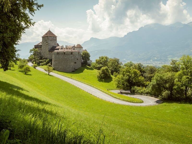
A country to explore by foot
With a total of 400km divided in 176 hikes, 13 long-distance hikes and 8 nature trails and confined in a country five times smaller than the size of Berlin, Liechtenstein could be the country with most hiking routes per area. Furthermore, with elevations ranging between 450 and 2500 meters, half of Liechtenstein lies in higher sections of the Central Alps – offering beautiful panoramic views almost everywhere you go.
My journey in Liechtenstein began in Malbun, a cozy and small alpine village located only 20-minutes from the capital Vaduz. Located at an elevation of 1600 meters, it is Liechtenstein highest town and a worthy stop if you are visiting Liechtenstein just for a day. This is where most of the high altitude hiking routes passed by and a great place to set as a hub for an adventure trip.
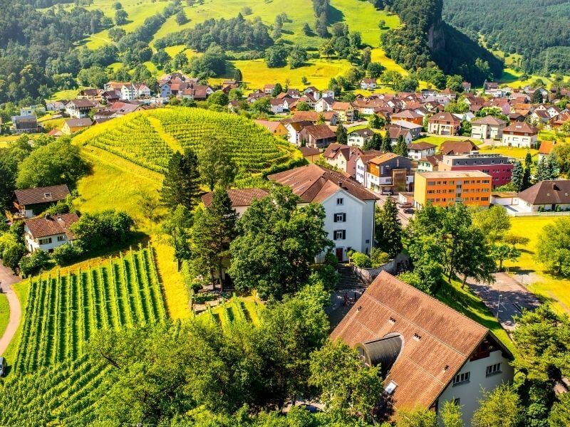
Like almost all the routes in the Alps region, hiking trails are signalized everywhere and its difficult to get lost. Using GPS hiking apps such as Outdoor Active or Komoot, I was also able to follow any trek in the palm of my hand and know exactly where I need to go, how far I was and how complicated the route was.
From Malbun, I took one morning the 12 km Fürstin-Gina-Weg, hiked another day all the way to the Drei Schwestern (2123m) and used my other 3 days to explore different sections of the Liechtenstein Panoramaweg, also known as the “Route 66”. Each day was a different escapade and each trek meant crossing Liechtenstein’s diversity: hills, valleys, snowy peaks, farms and towns – sometimes all in the same trek.
Read more: The Liechtenstein Trail: Hiking Across The World’s Sixth-Smallest Nation
Read more: Driving through the High Alpine Road in Austria
Read more: Planning a 10-day hiking trip in the Dolomites: The Alta Via 1
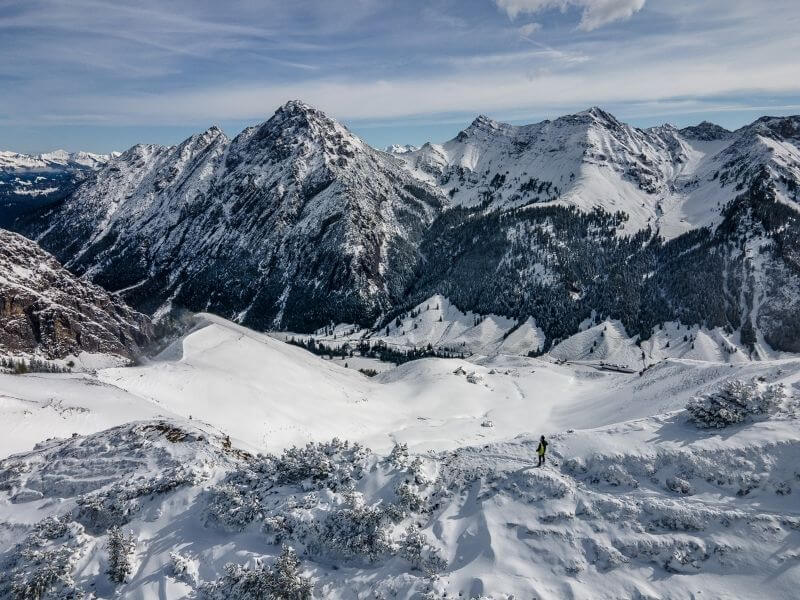
Alpine hikes for those without hiking experience
I arrived in Liechtenstein right after the first snow of the year. Ski resorts were not open yet, Malbun was quiet and almost empty, and nobody saw 20 centimeters of snow coming on the first night. Just like after that first snow in any other country of the northern hemisphere, the next day was a little bit of a chaos. Nobody knew if hiking was possible and some roads were closed.
That was also the day I decided to go for the hiking route “Fürstin-Gina-Weg”, the most panoramic hiking trail in whole Liechtenstein and a splendid route leading to the 2359m Augstenberg peak. This is also one of the most exciting routes in Liechtenstein, as it passes along the Fürstin-Gina-Weg ridge, where you get magnificent views of the Alps on the left side and a view of the tiny Malbun on the right.
Read more: Which types of signs you encounter while hiking in the Alps
Read more: How to plan a trip to Saxon Switzerland
Read more: Which are the most beautiful mountain landscapes of Europe
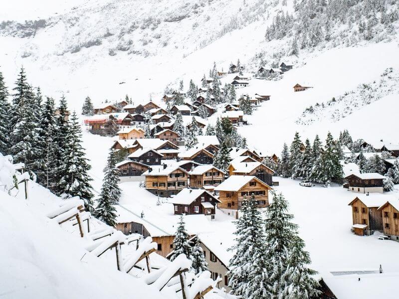
With the undisturbed and dazzling fresh snow all over the trail, each step felt a little bit like a leap into the unknown – sometimes the virgin snow covered my whole shoe, other times it almost reached my knee. However, while it seemed to be a difficult semi alpine hike for someone without experience, it was a very safe and signalized path most of the time. Since I had some hiking experience in the Andes, the Caucasus and the Alps itself, I felt very comfortable all the time. Although in some more exposed sections of the route cold winds crossed by and made me think for a moment, I was hiking at the highest peaks of Patagonia or more complicated routes in the Alps.
Also, after crossing only a handful of hikers on that first day, I understood why Liechtenstein’s treks can be really considered “off the beaten path”.
The next day felt even more remote, as I hiked to the 2103 m Schönberg and I didn’t spot a single other hiker along the way. Although this route was not as panoramic as the Fürstin-Gina-Weg, I crossed ponds reflecting the mountain landscape, farms, rivers and a couple of areas full of ice stalactites that appeared after the cold night.
Read more: How to plan a road trip in the Alps
Read more: How to visit the Ice caves of Austria
Read more: What is the most difficult hike in the Dolomites
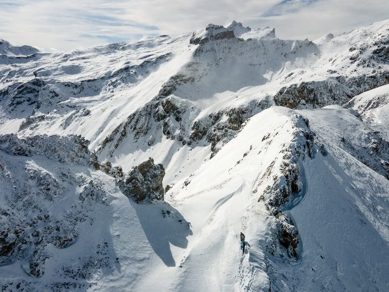
These hiking routes are so untouched that after my arrival at the peak of Schönberg, there was a small book with a pen, in which I could write the date, my name and my home country. The book was not even half full and I was the second hiker on reach the peak that day. After 5 days of hiking nonstop, I realized why Liechtenstein is a secret only locals from the neighboring countries know about. Each route felt like a little adventure in which there was nothing else than nature and I. This is the Liechtenstein I want to talk about, a escape for those who love to be outdoors, but miss the days in which hiking was the most personal experience you could have. Of course, I also got my passport stamp at the Liechtenstein Tourism Office before I left to my next destination.


