If you are planning a road trip in the Alps, the highest mountain pass road of Austria should be a must. This is the Grossglockner High Alpine Road.
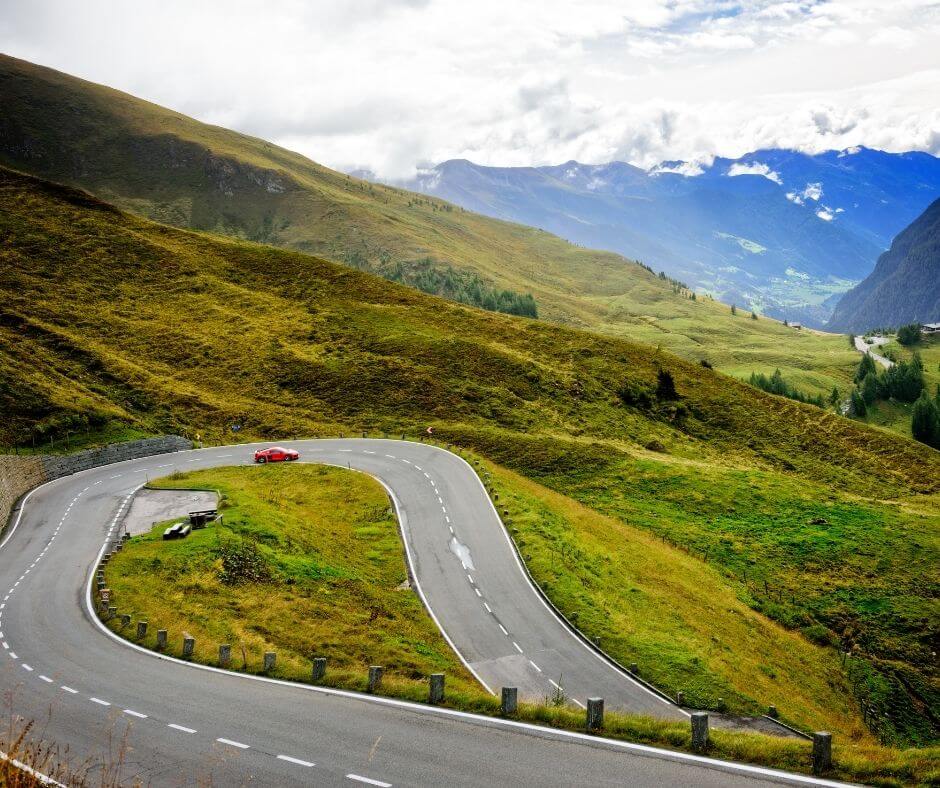
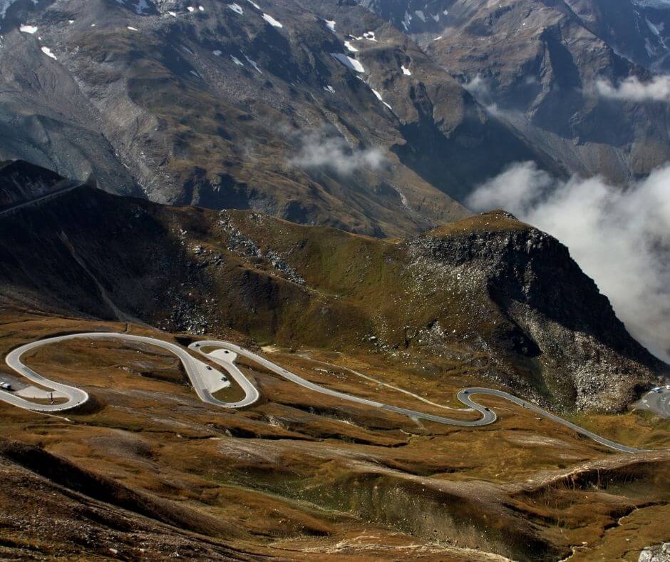
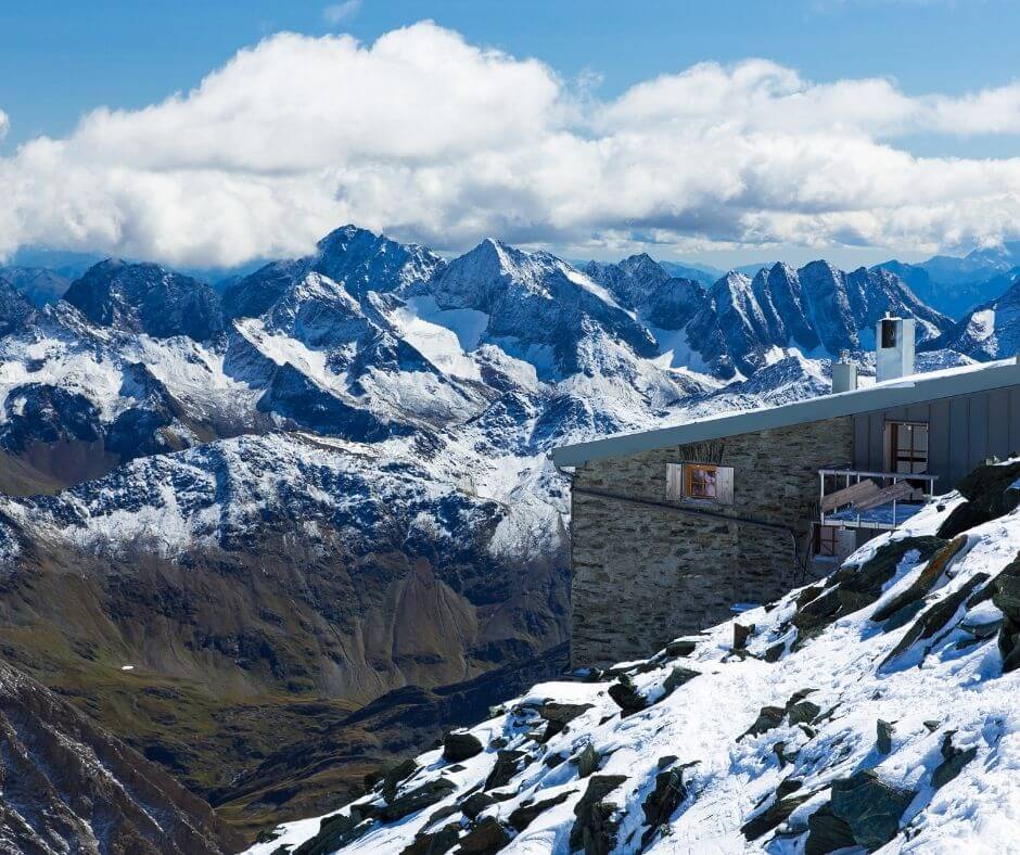
Surrounded by a stunning scenery of colorful flower meadows, snowy peaks, glaciers and serpentine roads at 2400 meters, the Grossglockner High Alpine Road makes you feel part of a James Bond or Mission Impossible movie. It is one of the most beautiful roads in Europe and is the perfect day trip activity if you are doing a full road trip around the Alps.
How to get here
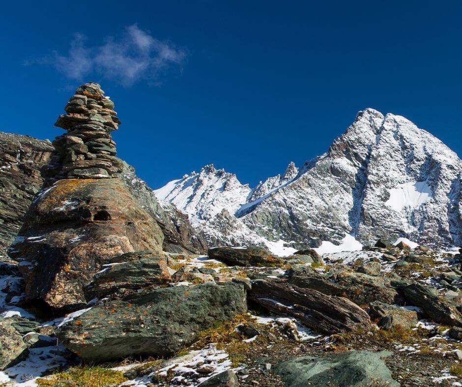
Connecting the Austrian towns of Bruck and Heiligenblut, the High Alpine Road is around 48 km long and has two passes, Hochtor, which is a tunnel at 2,504 m and Fuscher Törl at 2,428 m. Furthermore there are two side roads to the high points of Edelweißspitze (2,572 m) and to Kaiser-Franz-Josefs-Höhe (2,369 m). Both of these roads end at parking spots signalizing several easy hiking routes and offering some of the best views of the Alps.
Due to its majestic scenery and excellent road conditions, driving through the Grossglockner Alpine Road is not free. Beside the obligatory Austrian toll sticker, private vehicles have to purchase a “voucher”. These vouchers can be either for 1 day for one vehicle (37 EUR) or 3 weeks (59 EUR).
Furthermore, the Grossglockner High Alpine Road is not always open. The opening periods are only from early May to early November and exact times are:
- until May 31st, 6:00 am to 7:30 pm,
- 1st June to 31st August, 5:30 am to 8:30 pm
- from 1st Sept. 6 am – 7:30 pm
Last access to the road is 45 minutes before the night lock.
NOTE: Beside the standard opening times, access to the road can be limited due to the changing weather conditions at these high altitudes. Some hours before hearing to Grossglockner, check on their official website and find out if the roads are open that day.
Read more: How to plan a road trip in the Alps
What to do
Beside the driving experience itself, there are several hikes, outdoor activities and cultural experiences travelers can do. Kaiser-Franz-Josefs-Höhe visitor centre offers a small exhibition about the fauna and flora of the park, while there are several activities for families with children.
NOTE: There are a list of exhibitions opened for travelers visiting the Grossglockner High Alpine Road on the official website of the road.
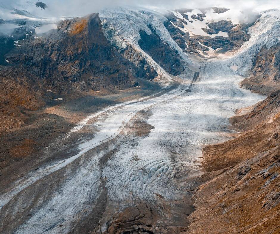
Also at Kaiser-Franz-Josefs-Höhe, travelers can get a perfect view of the Pasterze Glacier. With almost 8.5 km in length, Pasterze is the longest glacier in Austria and in the Eastern Alps. The thickness of the ice is about 120 meters and if you plan ahead of time and checking the weather conditions, there are plenty of activities to do here as well.
Read more: Which are the most beautiful landscapes of Europe
Hike the Pasterze Glacier Trail
The Glacier Trail Pasterze is one of the easiest, cheapest and most exciting ways to get into a glacier and explore the extraordinary beauty of this wonder of nature. Even though the hiking trail is very easy and does not require any special equipment, a guided tour by a National Park Ranger is obligatory.
However, the price for this 5-hour hike though ice and snow is just 17 EUR and can be booked in advanced.
Ice trekking on the Pasterze Glacier
For someone looking forward to a more adventurous and special experience, the Glacier trekking on the Pasterze is the activity to do. Available only every Tuesday from from June until September (16.06 to 15.09 in 2021), this is the exciting hiking tour with crampons, climbing equipment and ice axes you are hoping for.
Hikers at this tour will have the opportunity to walk on the glacier and experience an activity, you would usually only be able to do in Iceland, Patagonia or the Himalayas.
Prices for this activity are not that expensive either. A day tour is 120 EUR, including all necessary equipment and a led by a certified mountain guide.
Read more: Visiting the ice caves of Austria
Read more: Which are the best hiking routes in Liechtenstein
Read more: Planning a winter road trip in Swedish Lapland
Hiking Trails along the road
With a large network of trails for all levels of fitness, there are dozens of beautiful and scenic hiking routes crossing the entire High Tauern National Park.
A full list of the hiking routes can be found on the official website of the road. However, these are the three most scenic hiking trails at Grossglockner:
Edelweiss-Spitze(30 minutes)
Starting at Restaurant Fuschertörl, you can find a trail leading up to the Edelweiss-Spitze. This is the highest point of the Grossglockner High Alpine Road at 2,571 m and offers a wonderful view that stretches from Lake Zell across the entire Grossglockner mountain region.
If you feel more adventurous, you can also hike from the Edelweiss-Spitze to the high point of Baumgartlkopf (2,623 m) and get to see one of the most iconic views of the Grossglockner High Alpine Road.
Hochtor (30 Minutes to Hochtor South Portal – 3,5 hours to Brennkogel)
This historic hiking trail, also known as “Kelten-, Säumer- und Römerweg”, crosses Hochtor, one of the highest spots in the whole road and one of the oldest hiking routes in the Alps. This is the very same spot where people have been climbing for more than a millennia.
It is not only about the history, as this hiking route offers very beautiful views of the Austrian Alps and the snowy peaks surrounding.
If you are looking for a more complicated route to hike, the Hochtor south portal leads to the 3,018 m Brennkogel, a beautiful alpine route with several stops and breathtaking views.
Alpe-Adria-Trail (6 hours per Stage)
The Alpe-Adria-Trail connects three regions from different countries (Carinthia (AT), Slovenia (SL) and Friuli-Venezia Giulia via (IT)). It has a total of 43 stages and it a good training if you are looking for a more athletic and scenic adventure in the Alps.
This multiple day long-distance hiking trail starts from the foot of the Grossglockner and goes through the most beautiful Carinthian mountain and lake regions. This is also one of the few routes that will take you to the intersection area of Austria, Italy and Slovenia.
This is not the hiking route you would plan in a single day. However, if you are looking forward to explore this route and give it a try, the Alpe Adria Trail website offers the right information for you.
Want more?
Beside the Grossglockner High Alpine Road, this part of Austria offers a couple of other scenic road trip roads. The Goldreck Panorama Road, Villacher Alpine Road, Gerlos Alpine Road and Nockalm Road.
They end up offering a very similar experience, just a bit shorter.
Read more: Types of Signs at the Hiking Routes of the Alps
Read more: What is the most difficult hike in the Dolomites
Planning a road trip to the Grossglockner High Alpine Road?
Search and compare prices in hundreds of websites with only one click
By renting your vehicle using our search engine you are helping my website to improve and create more useful road trip guides in the future.


