Crossing the whole country and connecting all of Liechtenstein’s municipalities, the Liechtenstein Trail is a hike through a nation’s heritage
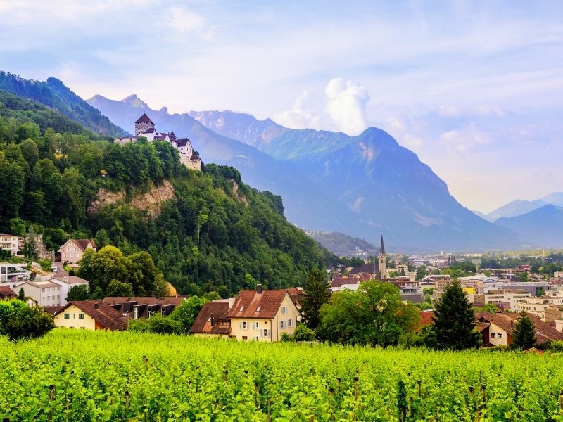
Receiving only an average of 80,000 visitors each year, the tiny country of Liechtenstein is the least visited country in Europe. But don’t be concerned about its minimal influx of tourists or its small size (five times smaller than Berlin); Liechtenstein is a destination made for adventure. It’s located in a unique area in between the Central Alps and is surrounded by some of the most beautiful mountain landscapes of Europe. Furthermore, in order to celebrate its 300th birthday in 2019, Liechtenstein launched “The Liechtenstein Trail”, a hiking route of 75km which crosses the whole country and shows its visitors, why the world’s sixth-smallest nation is definitely worth a visit.
More than just a quick stop
Liechtenstein has been in my bucket list for a while. However, I did not want to just drive through, see a couple of landscapes, get a passport stamp and leave. I hate the idea of visiting Europe’s micro-countries for just a day and go there just for the sake of saying I went there. I spent 5 nights in San Marino, 2 nights in Monaco, 4 nights in Andorra and at least a week in Malta – of course, I did not want Liechtenstein to become the exception.
I also knew about the beauty of Liechtenstein’s landscapes, but at the same time I understood that Liechtenstein neighbors are also very well known for their beautiful postcard sceneries. Yet, what fascinated me the most about this country is how off the beaten path it is. I wanted to be the only hiker exploring the area that day or witness a sunset at the top of a mountain by myself. Luckily, when it comes to that, Liechtenstein was the only country that could keep that promise.
Read more: How to plan a trip to Saxon Switzerland
Read more: Driving through the High Alpine Road in Austria
Walking across a country in just a few days
I went to Liechtenstein with the idea of avoiding large cities. I wanted to be surrounded by nature and spend the nights in warm and cozy mountain huts, instead of city hotels. And while the Liechtensteiner Trail starts in Liechtenstein’s northeastern border with Austria (Schaanwald) and ends down southwest at the border with Switzerland (Balzers), it is possible to begin the trail from each municipality, as the entire route can be completed in several stages.
The Liechtenstein Trail is also not just a hiking trail, but rather a journey through Liechtenstein’s history. While hiking sections of this iconic route I encountered farms, ruins, hundred year old castles, tiny villages and one or another isolated hut with 2 cows and a sheep. According to the tourism office of Liechtenstein, the Liechtenstein Trail has 147 specially-selected historical sites and events, or so-called Points of Interest across its 75km long route.
The trail also wants to combine modern technology to connect hikers with the cultural sites they pass by. Downloading the app “LIstory”, anyone using a smartphone can get inside information about all historical sites and even augmented reality options to get a deeper insight of how each location changed from hundreds of years ago.
Furthermore, the whole Liechtenstein Trail is very well signalized. So anyone who really just want to disconnect from apps, emails and social media, can just get a classic map and follow the route.
Read more: How to visit the Ice caves of Austria
Read more: What is the most difficult hike in the Dolomites
Read more: Which are the most beautiful mountain landscapes of Europe
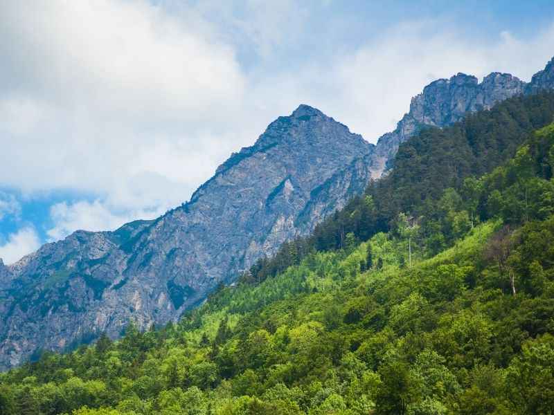
The Liechtenstein Trail in a nutshell
- Distance:
78.9km - Length:
3-5 nights - Duration:
20-24 hours - Starting/Ending
Point: Schaanwald/Balzers – However, travelers can start wherever they want or
even complete just one or two stages only. - Permits
and entrance fee: Not necessary - Accent:
1,967m - Descent:
2,011m - Best
time to visit: April to October
Read more: Which types of hiking signs would you find in the Alps?
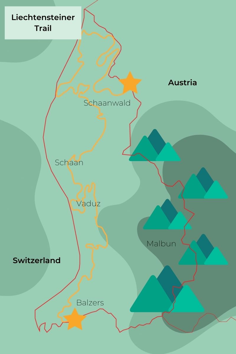
The Liechtenstein Trail in five easy stages
Stage 1: Schaanwald – Ruggell
- Distance:
19.4km - Ascent:
411m - Descent:
377m
Stage 2: Ruggell – Nendeln
- Distance:
14.8km - Ascent:
244m - Descent:
277m
Stage 3: Nendeln – Vaduz
- Distance:
16.8km - Ascent:
463m - Descent:
466m
Stage 4: Vaduz – Triesenberg
- Distance:
10.3km - Ascent:
255m - Descent:
698m
Stage 5: Triesenberg – Balzers
- Distance:
16km - Ascent:
535m - Descent:
137m
More detailed information about the different stages at the Liechtenstein Trail you can find at Outdoor Active, a platform with hiking routes all over Europe and maps of them.
Read more: How to plan a road trip in the Alps
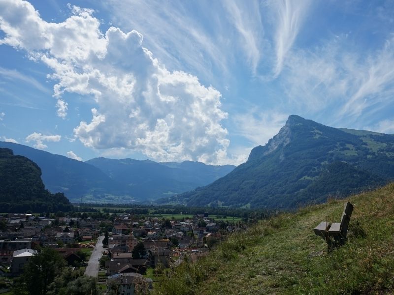
Want more of Liechtenstein
Beside the iconic Liechtenstein Trail, there are hundreds of hiking routes for travelers to discover. Some of my favorites started from the alpine town of Malbun. From here, I was able to hike up to heights of 2,300m and see the Alps from the top of Liechtenstein.
Travelers staying in Malbun can also do many day hikes around the area and use the town as a home point to travel around.
Read more: Which are the best hiking routes in Liechtenstein
Book your accommodation in Liechtenstein using Booking.com and support the blog and the creation of more amazing content!

